Description
Day 01: Meet at Evian train station, or directly at the first accommodation, at the end of the day. Dinner and overnight in Bernex or Vacheresse.
Day 02: Bernex (1206 m) or Chalets de Bise (1502 m) - Chapelle d'Abondance (1021 m)
Option 1: Transfer to Chalets de Bise.
This is a completely new option for discovering the north face of Mont Chauffé and its mountain pastures! It starts with an ascent to the Pas de la Bosse (18156 m), watching out for chamois on the north face of the Cornettes. Then a traverse towards Mont Chauffé takes you over the Col d'Ubine (1694 m). The atmosphere on the north face of Chauffé is truly special! You then switch to its southern slope to reach La Chapelle d'Abondance via the Aiguille rocks, with a lovely view over the Chatel valley.
Ascent: + 690 m; - 1080 m Length: 13 km Time: 05h30
Option 2: Transfer to Bernex
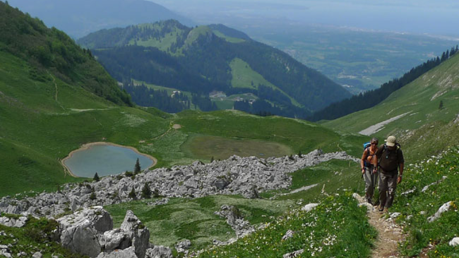
Slightly longer and therefore more difficult, this option takes you as close as possible to Lake Geneva. The route starts at the foot of the Dent d'Oche, the massif's emblematic peak with its characteristic silhouette, then crosses two passes. Lac de Darbon comes as a surprise at the last moment. Then you cross the vast Bise mountain pasture dominated by the Cornettes de Bise, another of the massif's flagship peaks. A final climb to a 3rd pass and then the descent to La Chapelle d'Abondance.
Elevation gain option 2: + 1220 m; - 1310 m Length: 16 km Time: 06h30
Day 03: La Chapelle d'Abondance (1021 m) - Chatel (1161 m)
You're now in the heart of the Abondance valley, famous for its mountain pastures, its "sunglasses" breed of cows and its cheese! Its highest point is Mont de Grange (2432 m). It's this mountain that you're going to discover today during a long and beautiful stage. A cool ascent to the Col des Mattes (1930 m), then a balcony traverse to the peaks that will mark your itinerary over the next few days, including the Pointe de Chesery (2251 m) and the Dents du Midi (3257 m), before descending to a charming little chapel and your accommodation.
Ascent: + 910 m; - 770 m Length: 11 km Time: 05h30
Day 04: Pré La Joux (1274 m) - Les Mines d'Or (1350 m)
A transfer with the local shuttle (€3 to be paid on site - every 40 minutes) takes you to the end of the valley and the start of the ascent to the Col de Bassachaux (1777 m), where you flirt with the Avoriaz and Portes du Soleil ski areas, where you'll come across a few mountain bikers enjoying the great outdoors. You reach the Col de Chesery (1992 m), where you cross the border in the middle of the Alpine pastures. Lac Vert is the perfect place to take a break! At Portes de l'Hiver, the route changes to Val d'Illiez. All the way down to your stopover, it's impossible to take your eyes off the impressive wall of slender peaks that is the Dents du Midi! From the Col de Cou (1920 m) you plunge into the Manche valley and its famous Mines d'Or!
Elevation gain: + 1140 m; - 1020 m Length: 19 km Schedule: 06h30
In June and September, the shuttle doesn't run, so add 100 m of ascent and 2 km.
From June 19 to September 26, it is possible to take a chairlift (€7 payable on site), after the shuttle, which shortens the stage by 350 m of ascent + and 1 km of distance.
Day 05: Les Mines d'Or (1350 m) - Samoëns (1096 m)
Many stories of smuggling make up the legend of this passage, but it's also a place chosen by ornithologists to study bird migration. Stories also abound about the Terres Maudites, a 600 m-high cliff you discover on your way out, before climbing to the Col de la Golese (1660 m). A traverse takes you to the Bostan refuge, then down to Samoëns via the Allamands valley.
Elevation gain: + 550 m; - 1200 m Length: 14 km Time: 05h30
Day 06: Samoëns (1626 m) - Moede - Anterne (2002 m)
10-minute transfer to Sixt. The ascent to the Col d'Anterne (2257 m) is long and varied: forest ascent amidst waterfalls, then passage to the foot of the impressive cliffs of the Pointe de Salles (2500 m), and crossing of the Montagne d'Anterne, a vast limestone plateau where you discover a high-altitude lake. From the pass, breathtaking panoramic views of the Mont-Blanc Massif, then a short descent to the refuge. Luggage not available.
Elevation gain: + 1100 m; - 300 m Length: 10 km Time: 05h30
Day 07: Moede - Anterne (2002 m) - Chamonix (1034 m)
The descent to Pont d'Arlevé is unforgettable, as you enter one of the last areas of original vegetation in Haute Savoie! After crossing the gorges de la Diosaz, climb back up to the Col du Brévent, a veritable balcony facing Mont-Blanc! You can reach the Brévent summit (2525 m) and take the cable car down to Chamonix, or from the col descend to Planpraz and take the cable car to Chamonix.
Ascent: + 770 m or + 925; - 740 m or - 410 m Length: 10 km Time: 05h30
Day 08: Chamonix - Bionassay (1350 m)
The stage begins on the Petit Balcon Sud, facing Mont-Blanc and its famous needles. It joins Les Houches to take the Bellevue cable car. A mountainside path leads to the Langue Frontale du Glacier de Bionnassay.
Overnight at Bionnassay, above the Contamines Montjoie valley.
Altitude gain: + 630 m, - 1160 m Length: 15 km Time: 5 h 30 mn
Day 09: Bionnasay - Nant Borrand (1430 m)
After a descent to La Gruvaz, the route heads up the Contamines valley. We also propose a variant via the Alpages de Miage (1559 m), a veritable paradise at the foot of the Dômes de Miage, and the ascent of the Plateau du Truc (1740 m) before descending to Les Contamines-Montjoie. Tour the Val Montjoie to Notre Dame de la Gorge, a splendid 17th-century Baroque church, and climb to the "Pont Romain", spanning the tumultuous Bon Nant torrent. You're in the Contamines Montjoie Nature Reserve. Vehicles may only enter before 7 a.m. or after 7 p.m. You won't get your luggage back until 7.30 pm.
Ascent: + 970 m, - 830 m Length: 18 km Time: 6 h 15 mn
Day 10: Nant Borrand - Plan de la Lai (1818 m)
This day's program includes an alpine stage with the ascent of two passes. You start by discovering the tranquility of the Pâturages de Balme, before reaching the Col du Bonhomme (2329 m), gateway to the Beaufortain. The hardest part is over, as you reach the Col de la Croix du Bonhomme (2479 m) via a slightly uphill traverse. The route then follows the Crête des Gites, a spectacular military trail, and descends to the Cornet de Roselend. If you choose the "room of 2" option, you start this stage at the bottom of the Contamines valley, adding a further 200 m to the climb.
Vertical rise: + 1020 m, - 665 m Length: 12 km Time: 5 h 30 mn
Day 11: Plan de la Lai - Valezan (1186 m) - Pralognan (1710 m)
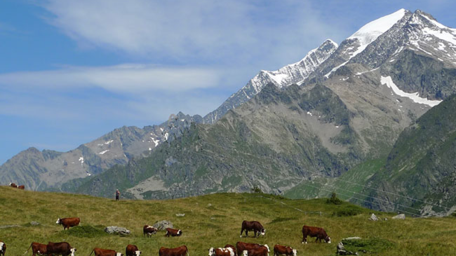
Your day begins with a balcony trail over the man-made Roselend lake. The mountain pastures here are home to Tarine cows, whose brown coats and black eyes you'll recognize. After crossing the Treicol stream, we climb to the Col du Bresson (2469 m), dominated by the spectacular Pierra Menta. The descent into the Tarentaise valley follows the Ormente torrent, then the sunny side of the valley, with its rich agricultural activity. Transfer by cab between Valezan and Pralognan la Vanoise (30 mins).
Ascent: + 895 m; - 1553 m Length: 16 km Time: 6 h 30 mn
Day 12: Pralognan - l'Orgère (1889 m)
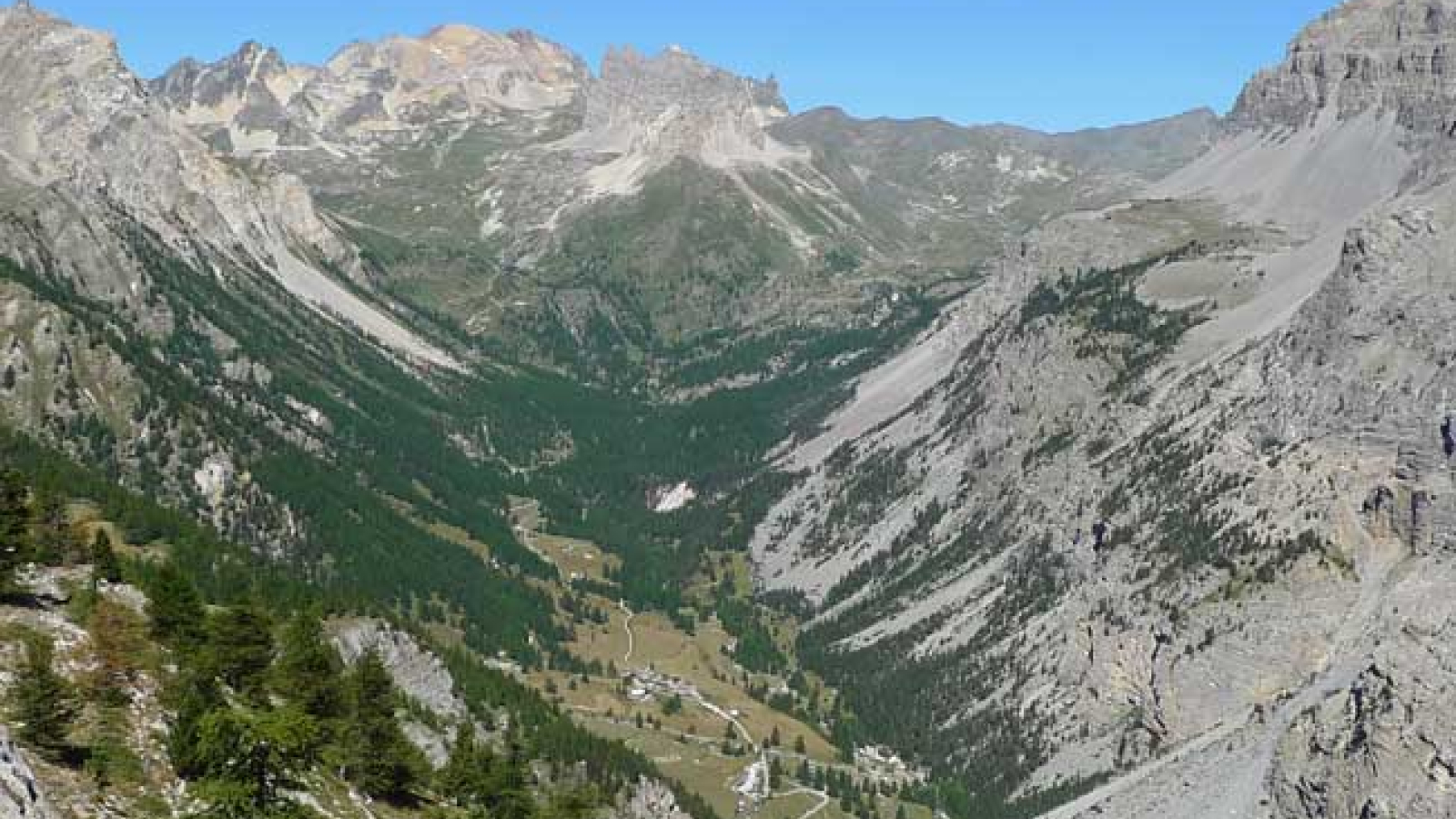
After leaving the hamlet of Les Prioux, you cross the Doron de Chavière twice before finally going up its left bank to the Roc de la Pêche refuge. The trail continues into the lovely Valpremont valley, a pasture dotted with large boulders and Bois Joli. The ascent to the Col de Chaviere (2796 m) takes place in a more alpine landscape dominated by the Glacier de la Masse on the left. Descend through scree to the Lac de la Partie flat (2503 m), then through the tête noire pastures to reach Orgere, gateway to the Vanoise National Park.
Elevation gain: + 1086 m; - 910 m Length: 15 km Time: 6 h 00 mn
Day 13: Val Frejus (1829 m) - Vallée Etroite (1785 m)
Transfer by cab to Val Frejus, on the other side of the Arc valley (20 mins).
The walk begins in the forest, then passes military remains (the border is very close) before reaching the combe de Roches. The Col de la Vallée Etroite (2434 m) is the gateway to the Southern Apes, where the vegetation and light are never the same! But that's not all, as the heart of this valley and its inhabitants beats to the rhythm of Italy - a guaranteed change of scenery!
Ascent: + 610 m; - 630 m Length: 11 km Time: 5 h 00 mn
Several variants are possible, including one via the Mont Thabor refuge and the Marguerite lakes (+ 100 m ascent).
Day 14: Vallée Etroite - Névache (1600 m)
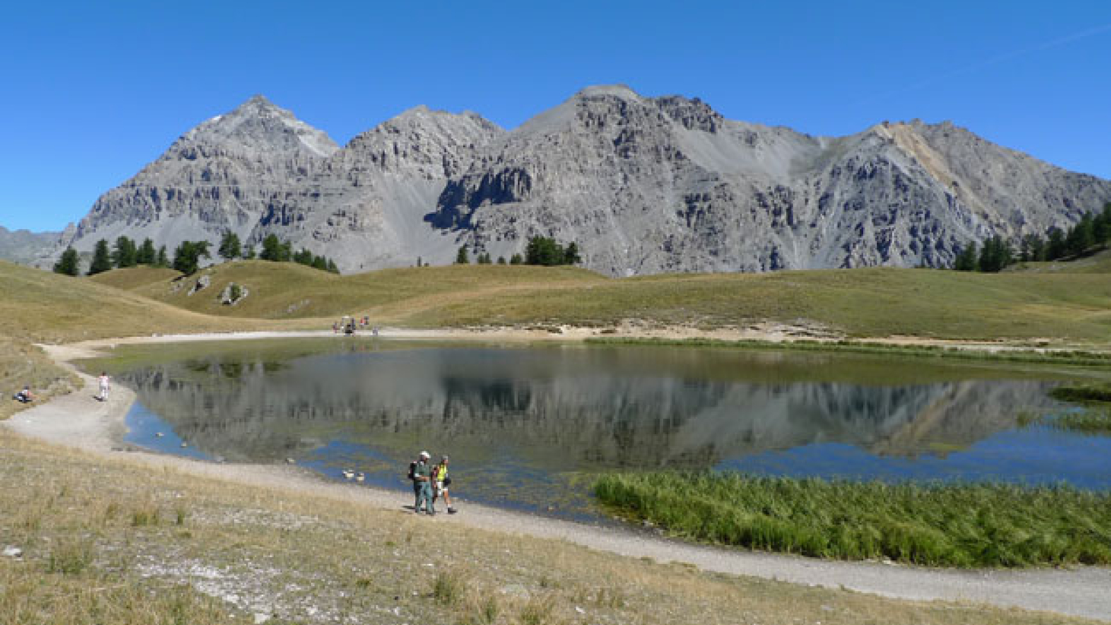
After a night spent at the foot of Pointes Gaspard, Melchior and Balthazar, you're off on the shady, gradual ascent of Col des Thures. The arrival at the edge of Lac Chavillon is an invitation to contemplate! What follows is just as beautiful, as you cross the Thures valley and descend through a larch forest dotted with fairy chimneys to the hamlet of Roubion.
Elevation gain: + 410 m; - 600 m Length: 8 km Time: 5 h 00 mn
Two possible variants: via Lac Bellety (+100 m) or climbing to Aiguille Rouge (+500 m).
A shuttle bus takes you to Briançon or Bardoneccia station (TGV Paris-Turin line).
This program is indicative and may be modified to suit weather conditions.
Extension: Névache - Briançon stage (1200 m)
It is possible to add a day's walk to reach Briançon via the Porte de Cristol pass (2483 m). This is a long and difficult stage, but you can shorten it by booking a cab (which avoids most of the descent).
Distance: 20 km / altitude gain: 1150 m / altitude loss: 1450 m
Additional info
- Spoken languages :EnglishFrench
Prices
Child: from 995 €.

